Penan Community Maps Bruno
by Manser Fonds
2020-07-25 18:21:40
Penan Community Maps Bruno
by Manser Fonds
2020-07-25 18:21:40
These 23 maps of the Penan tribal rainforest in Malaysia are the result of a fifteen-year ground-breaking community mapping project. In collaboration with Swiss cartographers of the Bruno Manser Fund, Penan tribesmen use modern mapping technology to ...
Read more
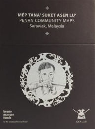
These 23 maps of the Penan tribal rainforest in Malaysia are the result of a fifteen-year ground-breaking community mapping project. In collaboration with Swiss cartographers of the Bruno Manser Fund, Penan tribesmen use modern mapping technology to trace their ancient heritage, identifying significant nomadic camps, burial sites, and blowpipe trees as well as dominant topographical features. The Penan Community Maps aim at reflecting the diversity of the Penan culture. Each map sheet consists of eight parts. While the front page displays a picture of the Penan tradition, the overview allows a simple localisation of each map sheet. All symbols and elements used on the topographic map are listed within the caption. For each map, an area-specific oral history and various pictures were selected. A drone-based aerial imagery reveals the Penan villages from the top. The villages' endorsement of the maps is given through the signature (fingerprint) of the responsible headmen. These maps are a testament to the importance of maps for indigenous rights, and the project wants to be a model for similar struggles across the globe.
Less

